Empanelment of Jharkhand Jalchhajan Yojna, 2021 Watershed Development Project
Understanding Watershed Development Project
Year: 2021
- Developing wastelands or degraded lands, drought-prone and desert areas on watershed basis, keeping in view the capability of land, site conditions and local needs.
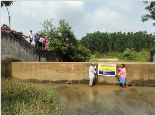
- Watershed development is the conservation, recharging and judicious use of the water and Land resources like underground water, rivers etc. within the watershed area.
Watersheds are important because the surface water features and stormwater runoff within a watershed ultimately drain to other bodies of water. It is essential to consider these downstream impacts when developing and implementing water quality protection and restoration actions. Everything upstream ends up downstream. We need to remember that we all live downstream and that our everyday activities can affect downstream water.
Understanding of the Applied Districts
Bokaro District Profile
- Total Area: 2883 sq. km
- Total Forest Area: 640 sq. Km
- Average Annual Rainfall: 1291.2mm
- Total Agricultural Area: 288100 ha
- Total Irrigated land: 28810 ha
- Literacy Rate: 74% approx.
- Main Tribes located: Oraon, Chero, Korwa & Parahiya
- Number of Panchayat: 241
- Number of Villages: 676
- Climate: Humid & Sub-tropical climate.
Major Issues:
- Soil Conservation (Soil erosion, gully erosion).
- Single Crop
- Low Yield productivity
- Low Technology knowledge among farmers
- Unorganized Community Based Organisations.
- Local laborer are not so much interested to work in MGNREGS due to delay payment
- Rain fed farming practices
Second District Profile
- Total Area: 2725 sq km
- Total Forest Area: 607 sq. Km
- Average Annual Rainfall: 1307.6 mm
- Total Cultivable Area: 798 sq. km
- Major Soil Type: Alfisols / Ultisols
- Major Drainages: Subarnrekha and Kharkhai Rivers
- Literacy Rate: 68.85% approx.
- Number of Panchayat: 172
- Number of Villages: 1187
- Climate: Humid & Sub-tropical climate.
- Language: Hindi, Santhali, Ho
Major Issues:
- Low level knowledge of modern irrigational system.
- Single crop
- Migration to urban areas.
- Low Technology knowledge among farming system.
- Low quality of Livelihood Productivity
- Livelihood activities for Assets less persons
- Unorganized Community Based Organisations.
- Local laborer are not so much interested to work in MGNREGS due to delay payment
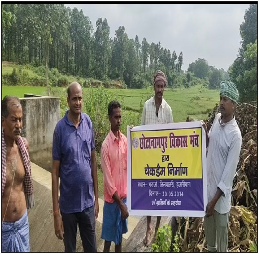
Chhotanagpur Vikas Manch has completed Fallow Land And S.R.I Yojna in Chas, Chandankairi, Nawadih, Kasmar and Jaridih Block in Bokaro district with the financial support of Agricultural Department. Total Area Covered - 1700 hac.
Proposed Methodology
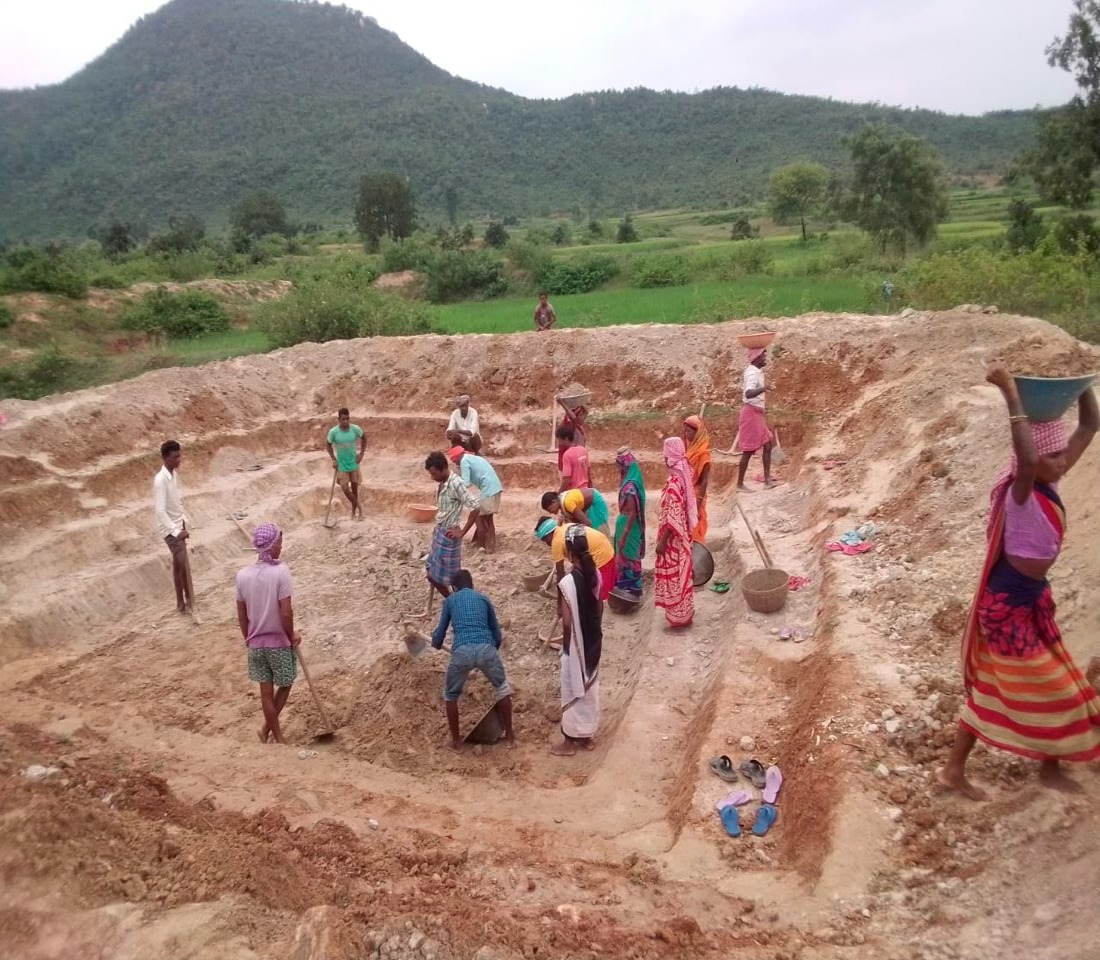
Watershed development approach is based on participatory planning following a bottom-up approach for developing a context appropriate plan for execution; empowerment and employment of people through establishment and strengthening of local level institution; conservation and appropriate management of watershed's natural resources through holistic development of the watershed; sustainability through people's participation in the process of development. In the community-based participatory watershed development project, villagers create and maintain the assets and thus have a strong sense of ownership, which is the key to the sustainability of this project.
- We have applied Ridge To Valley Approach
- Soil and Water Conservation measures consideration
- Community Mobilization & ensuring their active participation.
- Participatory Rural Appraisal (PRA).
- DPR Preparation Process (Data Collection, entry, data analysis, planning process, mapping etc...)
- Formulation and Adaption of withdrawal strategies for post-project sustainability of the project.
- Convergence with line and related departments.
Proposed Human Resources
| Position | Count |
|---|---|
| Agricultural expert | 5 |
| Veterinary Expert | 3 |
| Civil Expert | 5 |
| Panchayat Raj Institutions (PRI) Experts | 5 |
| Watershed expert | 8 |
| GIS Expert | 02 |
| Field Level Animator | 40 |
| MIS and Data entry operator | 04 |
| Total | 72 |

Join Our Next Activity
Be part of our community and make a difference through meaningful activities and events.
More Activities
Targeted Intervention Program for FSW, Saraikela under JSACS
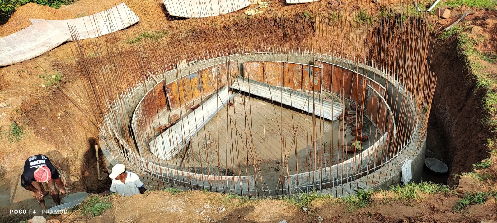
Installation of 2000 Kg Bio-Gas Plant in Gurhet Village, Hazaribag
Samekit Birsa Gram Vikas Yojana sah Krishak Pathsala Yojana
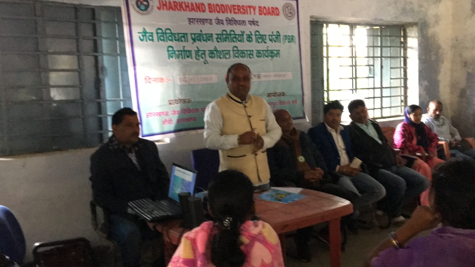
Preparation of People Biodiversity Register (PBR) and Training Program
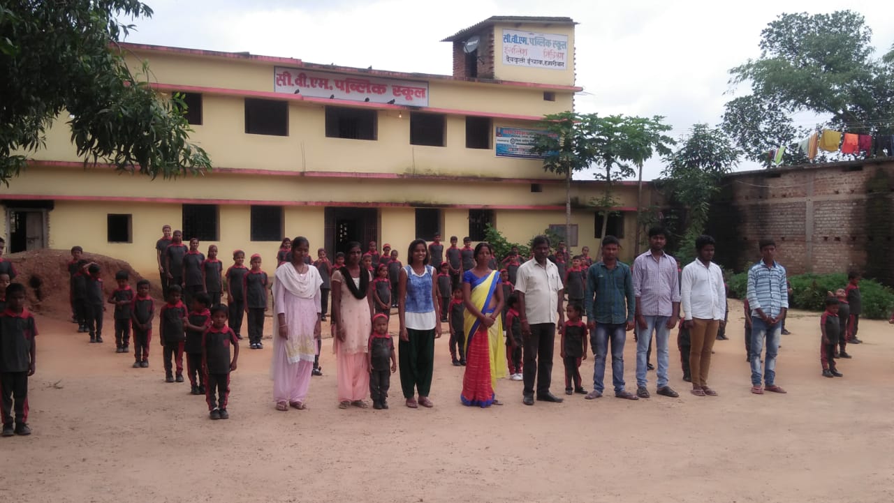
Child Labor School
